
Porthmadog Maritime History Walk
November 1st, 2019
Earlier this week on the blog we explored the fascinating maritime history of some of Wales’ most interesting coastal towns. And now’s your chance to explore some of that history for real and join us for a walk around Porthmadog, our nearest coastal town.
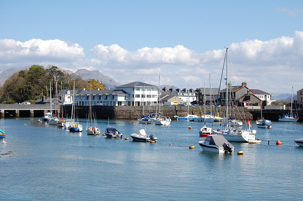
Porthmadog’s harbour was built on strong industrial foundations.
Where: Porthmadog, Gwynedd.
Distance: Approx 5 miles
Difficulty: Easy
Start: P&D Car Park in Porthmadog. Nearest post code for sat nav LL49 9BU
Grid Ref: SH 570 387
Maps: OS Explorer OL 18 Harlech, Porthmadog & Y Bala
Directions
1: Leave car park to pass supermarket on left. At junction, turn left, then very soon left again by petrol station, to cross railway and walk over bridge. Cross road by record shop and walk towards Ffestiniog Railway platform.
2: Stay ahead to follow railway line away from station and walk along top of embankment (Y Cob) for almost one mile. Just before Boston Lodge sidings follow steep steps down to road and cross carefully. Go down steps/ramp and onto path. Turn left and walk back along lower track to enjoy views across Glaslyn Estuary to Snowdonia beyond.
3: At end, stay ahead to pass large white building on right (local Tax Office) then terrace of houses. Immediately after record shop, turn right to find track then gate ahead. Go through and follow path to go over sluice gates. Follow wider path around top of embankment and then when it meets road, bear left to soon pass old mill and cross railway.
4: Continue ahead and with chip shop on right, cross straight over and continue. At next crossroads (with café on right) go straight over again and walk up Bank Place.
5: Pass Indian Restaurant, then turn left for Terrace Road. Continue ahead as road climbs uphill with large stone wall to right and then flats and terrace houses. After terrace on left, views will open out over harbour below and along coast towards Portmeirion.
6: Follow road uphill; pass retirement home then old gate house to Bron-y-Garth. Road eventually dips then rises again and soon the village of Borth-y-Gest appears below. Follow road down to steps then walk around bay. Pass village shop and café and continue along Ivy Terrace. When road bends sharp right stay ahead to pass large houses then B&B above on right.
7: As road ends continue ahead along gravel path, passing benches (good viewpoint) then church above on right. Continue along cliff-top path until path turns sharp left. Go right here for narrow track uphill and follow it as it winds to left. At top, turn right then first left alongside fence and park. At road, turn left uphill then just before drive to house, veer right for narrow path and follow to end.
8: Turn right, pass school then continue downhill to reach car park. Re-trace steps along bay and then up steps and uphill. Continue straight ahead this time for tarmac footpath that leads downhill onto wharf road. Walk along wharf, passing boat yards then eventually flats on right to emerge at harbour.
9: Pass small green to right. Near top of slipway, bear right to walk across pedestrian area with benches. Aim for top right corner and walk through narrow passage then continue ahead to pass TIC on left. Turn left at main road to re-trace steps to car park.
Points of Interest
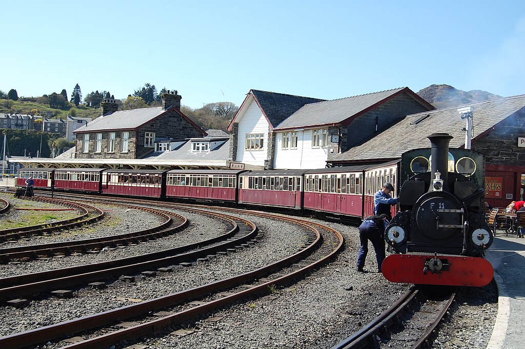
1: Porthmadog is home to one of the most well-known narrow-gauge railways in the world – the Ffestiniog Railway, which has been running for almost 200 years since 1836.
2: Porthmadog’s Maritime Museum is situated on the harbour. It is open daily (12-4pm) between Easter and 31st October (except for Mondays and Fridays during term time). For more information visit www.porthmadogmaritimemuseum.org.uk
**These directions are for guidance only. The Oakeley Arms can accept no responsibility for any loss, damage or injury resulting from the use of this information. The information quoted is correct at the time of writing. Always take a map with you and be prepared for the weather for turn. Do not venture out in bad weather.