Aberdyfi Walk
August 12th, 2016
This summer holiday if you’re stuck for something to do, then why not make time to explore some more of the beautiful Snowdonia coastline that we have on the doorstep here at the Oakeley Arms?
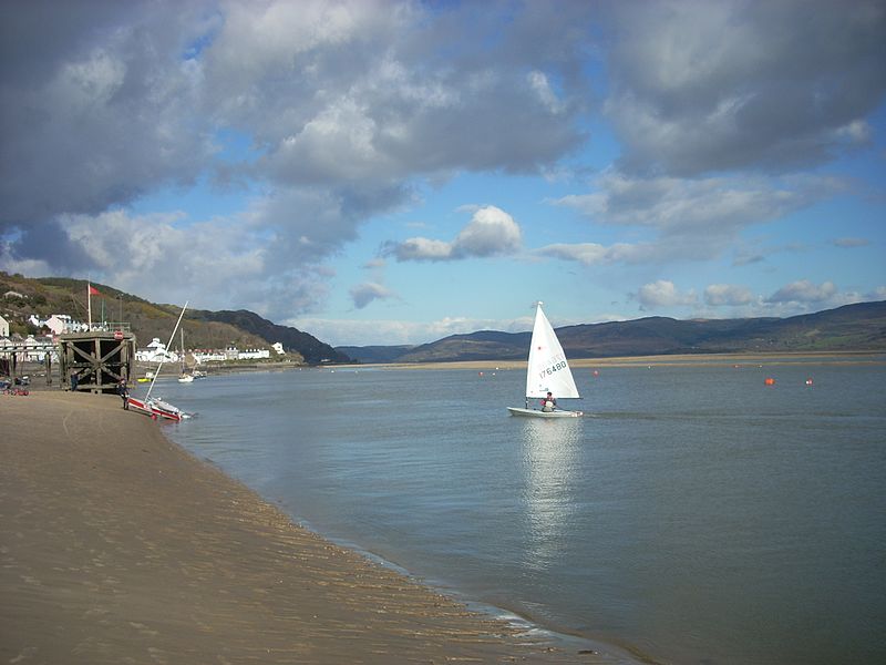
For today’s blog post we’re heading south, to the lovely seaside town of Aberdyfi. Situated right at the southern end of Snowdonia, Aberdyfi lies on the estuary of the River Dyfi – where it tumbles into the sea after it’s journey through mid Wales.
The village was originally a small fishing and ship building village, but after the railways steamed into the area in the mid 1800s, it became a popular destination for tourists from northern cities, looking to escape the smog and smoke and enjoy the fresh sea air of the west Wales coastline. In English, Aberdyfi (anglicised as Aberdovey) means “Mouth of the River Dyfi”.

And did you know that Aberdyfi has a long history entwined with shipbuilding and sea-faring. During the Spanish Armada in 1597 a Spanish ship mistook Aberdyfi for Milford Haven and was stuck here for 10 days.
So, why not make the most of the glorious summer weather and enjoy a day out at Aberdyfi? And if you’re in the mood for a walk, then why not try our lovely Aberdyfi Walk below? And when you’re done, you’ll have the prefect excuse to chill out in the sunny Oakeley beer garden with a lovely, cold refreshing drink (or 4….). Happy walking!
Where: Aberdyfi, Gwynedd.
Distance: Approx 3.5 miles
Difficulty: Moderate
Start: At the P&D car park on the seafront by the Tourist Information Centre. Postcode for sat nav is LL35 0ED (approx)
Grid Ref: SN 614 959
Maps: OS Explorer OL23: Cadair Idris & Llyn Tegid
Directions: 1: With your back to TIC, turn right, then almost immediately left up Copperhill Street and under railway bridge. Turn left for footpath sign and follow uphill past two houses called Bryniau Isaf. Turn sharp right and up steps. Continue ahead and follow track to road and walk to junction.
2: Go straight across to wooden gate at footpath sign. Go through and turn left, past an electricity sub-station. Follow the path along fence line and then steeply uphill to a stile.
3: Cross it and continue ahead with the fence to your left to another stile. Cross it, stay ahead again, past bench on right and stay with fence line on your left through the field. Path soon becomes narrow with a small gorse covered hill to the right.
4: Follow path down to small stream by gate. Cross the stream, through the gate, turn left, then bear slightly right to walk behind house towards metal gate and way-marker.
5: Through gate, down the short hill and turn right to walk behind caravans. By the last caravan bear right to cross stile. Stay ahead to walk over the hilly field. The path is vague but stay roughly ahead, bearing ever so slightly left.
6: Soon (approx 400m) a derelict farm will appear ahead (if you end up above or below them just walk to the buildings to correct your course). Follow the path that leads in front of the ruins and heads between two low summits to a track.
7: Turn left steeply downhill. Go through gate near cemetery and bear left to road. Cross carefully to parking area and find track on left. Follow this to the railway line, cross carefully and continue across the golf course. It leads to a boardwalk onto the beach. Turn left along the beach and back to Aberdyfi
**Please note that these directions are for guidance only. The Oakeley Arms can accept no responsibility for any loss, damage or injury resulting from the use of this information. Always take a map with you and be prepared for the weather for turn. Do not venture out in bad weather and always take care with coastal tides.