
Anglesey Menai Bridge Walk
October 2nd, 2016
Earlier this week we celebrated the gorgeous island of Anglesey, so for anyone keen to find out more, here’s a stunning walk around one of Anglesey’s highlights – the town of Menai Bridge.
Menai Bridge, or Porthaethwy as it’s known in Welsh, overlooks the beautiful Menai Straits that separates Anglesey from mainland Wales. It has a small population of just over 3,000 and the High Street maintains it’s charm with independent shops, cafes and restaurants. The English name of Menai Bridge, of course comes from the suspension bridge that was opened in 1826.
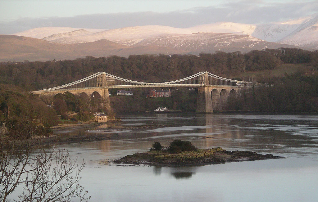
Where: Menai Bridge, Anglesey.
Distance: Approx 4.5 miles
Difficulty: Easy
Start: Town square, Menai Bridge (A55 to junction 8 then A5 to Menai Bridge. At first roundabout take second exit for Town Centre and continue to crossroads with HSBC bank on left. Go straight over, bearing slightly left to follow Parking sign along narrow lane between buildings – pay & display car park)
Grid Ref: SH 557 720
Map: OS Explorer 263: Anglesey East
Directions: 1: Leave car park and head back towards High Street; turn left, then almost immediately left again along Water Street (Stryd y Paced). Stay on this road, passing slipway on left then up short hill as road becomes Lon Cei Bont. At a fork near post box, keep left along lower road.
2: Follow this road as it approaches the bridge then passes underneath it. About half way up hill, find public footpath sign on left and follow through woods. Follow marker posts through the park for great views across the straits and of bridge behind. Continue through the park and follow markers to gate, which leads back onto the road, turn left along road.
3: Shortly turn left along narrow path (the Belgian Promenade) towards water’s edge. Follow path across to church on the island. Explore, then back across causeway and turn left to follow path along edge of water. Walk between gardens and rugby field then steeply uphill to emerge by side of house onto main road.
4: Turn left along pavement; pass terrace houses then lay-by on left then soon after white house and speed limit signs, turn left down steps at footpath sign and bear right across field. Follow path way markers towards shore and around southern edge of woodland. Path eventually leads to base of Britannia Bridge; take uphill track and as terrain levels out turn right through metal gate and follow path through woodland.
5: At steps bear left towards stone wall then go up steps towards main road. At road, turn right along pavement and follow all the way back to town centre (you can either follow road to roundabout then take second exit to arrive at crossroads, or you can bear right by house and just before roundabout to re-trace steps between rugby field and along Belgian Promenade and back under suspension bridge.)
**Please note that these directions are for guidance only. The Oakeley Arms can accept no responsibility for any loss, damage or injury resulting from the use of this information. Always take a map with you and be prepared for the weather for turn. Do not venture out in bad weather and always take care with coastal tides.